Last updated
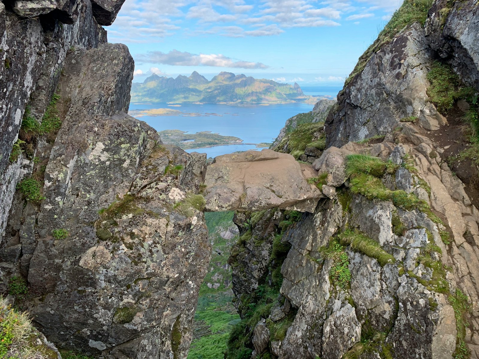
A boulder wedged between two rock faces on the mountainside above Svolvær. The Devil's Gate in English. You've probably seen photos of someone standing on it, arms out, a gap dropping away beneath their feet. The wide-angle shots make it look like a vertical void, but the boulder actually sits only a few metres above the ground. The exposure on either side still makes your legs go funny, though.
The trail starts from Blåtindveien, at the edge of Svolvær. If you're staying in town, the walk to the trailhead takes 15 to 20 minutes. From there you climb Djeveltrappa, a Sherpa-built stone staircase that now extends most of the way up the mountain. The stairs are well-constructed and manage the steepest terrain, but they don't let up. There are benches spaced along the route, and by the second set of them you'll understand why.
Past the staircase, the terrain levels out into a marshy valley between Fløya and a rock formation called Frosken (the Frog). A wooden boardwalk gets you across the boggy ground. After that, the route narrows into a rocky gully and gets steep again. The final section up to Djevelporten is exposed, with some handholds and stone steps placed to help.
The boulder
Djevelporten sits wedged in a gorge between Frosken and Fløya. The drop beneath it is modest, a few metres, but the steep terrain falling away on either side is real enough. If heights bother you at all, this will test you.
During peak season, roughly late June through August, there's a queue. Sometimes a long one. People line up to take their turn on the rock, and each person or couple takes a few minutes posing and photographing. On a busy afternoon you might wait 30 to 45 minutes standing on exposed terrain watching other people take the same photo.
Timing and crowds
During the midnight sun period, roughly mid-May to mid-July, you have near-unlimited daylight. Starting at 6 or 7 in the morning means you'll likely have the boulder to yourself or share it with one or two other early risers. Late evening works too. The light is warmer and lower then, and the shadows stretch all the way across Svolvær and the Vestfjord.
Past Djevelporten
Most people turn around at the boulder. The trail continues up to the summit of Fløya at 590 metres, and you get a much bigger view from the ridge, the full sweep of Svolvær's harbour, the scattered islands, open water beyond. On the way up you'll also see Svolværgeita (the Svolvær Goat), the twin-horned rock pinnacle that gets printed on half the postcards in Lofoten. Climbing Svolværgeita itself requires proper gear and a guide, but from the trail it's right there in front of you. The extra 20 to 30 minutes from Djevelporten to Fløya's ridge is fairly effortless and gives a completely different perspective.
You can do Djevelporten and Fløya as a loop rather than retracing your steps. The trail splits near the top, and signs mark the junction clearly. Visit one on the way up, the other on the way down.
Conditions and season
June through September is the hiking window. October is possible in a dry year, but don't count on it. Rain at any time makes the upper rock faces dangerous. Check yr.no before you go and be willing to postpone by a day. The trail is steep enough that wet rock turns straightforward sections into real hazards.
Practical details
The round trip to Djevelporten and back takes most people two to three hours. Add another 45 minutes to an hour if you continue to the Fløya summit and return. Bring water, at least a litre per person. There are no facilities and no water sources anywhere on the mountain.
The trailhead parking on Blåtindveien is paid. You can use the EasyPark app or the parking meter. During peak summer, the lot fills up by mid-morning. If it's full, park in Svolvær centre and walk. Public toilets are at the trailhead parking area. The parking lot is right next to a kindergarten, and parking in the kindergarten's spaces will get your car towed. The hiking lot is just past it, follow the road around the curve.
Fitness and exposure
The trail is steep from start to finish, and the final section before Djevelporten is airy and unprotected. If vertigo is an issue, the views open up well before you reach the exposed section. The ridge below Fløya's summit gives you the same panorama without the scramble. The very top of Fløya involves a short technical passage of two to three metres that's only suitable for experienced hikers, but you don't need to reach it to get the view.
Highlights
Best time to go
Time needed
Getting there
What to do nearby
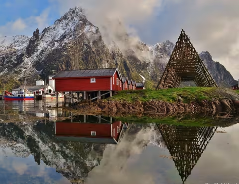
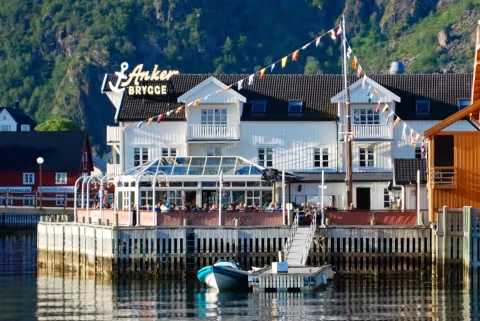
Hotels nearby